Zooming In and Zooming Out
There are two methods for zooming in/out:
- Use the Zoom In and Zoom Out tool on the Toolbar. Click and drag a box around the area you want to zoom in or out of. If you accidentally go too far, use the Previous Extent button to move through your previous views or click the small globe to return to your original extent.
- Use the scroll wheel on your mouse. Roll the wheel forward to scroll in and roll it backward to scroll out.
Moving within an Extent
- Click the pan tool (
 ) on the toolbar.
 - Click and drag to move the map around.
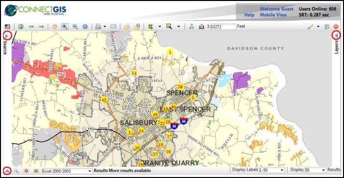
Maximizing the Map View
All of the panels can be collapsed to maximize your view of the map, as shown in the image below. To collapse each panel, click on the arrow button on each panel. These buttons are circled on the image below.
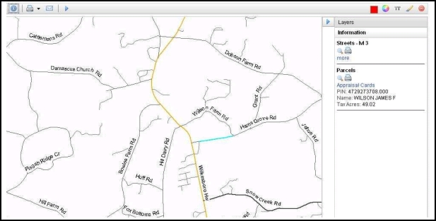
Identifying Base Data
Additional information may be available for various features on the map.
- Click on the Identify Base Data button on the toolbar and click on area of interest on the map. The area is highlighted and any available data for that area is displayed in the right panel.
Using the Mark Up Tools
Using the mark up tools, you can add custom points, lines, polygons, rectangles, circles, and text to the map. To mark up a map:
- Click the Graphics Option (
 ) button on the toolbar.
 - Using the radio buttons, select the type of object you want to add. As you select an item, the options below the radio buttons change. For example, for a point, you can select the point symbol, but for a line, you can select the line style, width, and color.
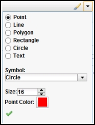
- Select the desired options for the selected mark up item.
- Click the Accept (green check) button.
- Click the Add Graphics button on the toolbar. A pop up window appears attached to your mouse, with instructions for the selected Mark Up item.

- Follow the on-screen instructions to add your mark up.
- Click another toolbar button to turn off the mark up tools.
Printing the Map
- Click the drop-down menu next to the Print button on the toolbar and select the desired print size.
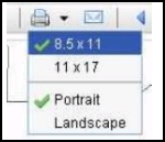
- Click the Print button next to the result.
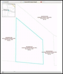
- Click on the Click here to download your file link. A new window appears with the printable map and (if applicable) table of item data. The screen shot includes a large view of the result with an overview map in the top left corner. Any layers that are turned on will show up. The data from the layers is also included underneath the screen shot.
- Use your browser's print dialogue to print your search result.
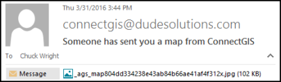
Emailing the Map
You can mail a screen shot of the Map to any email address:
- Make sure the map appears exactly how you want your recipient to see it. All mark ups will be included in the map screenshot.
- Click the Email Map button on the toolbar.
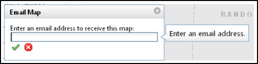
- Enter the recipient's email and click the Accept icon.